
Geotab ITS Interactive Map
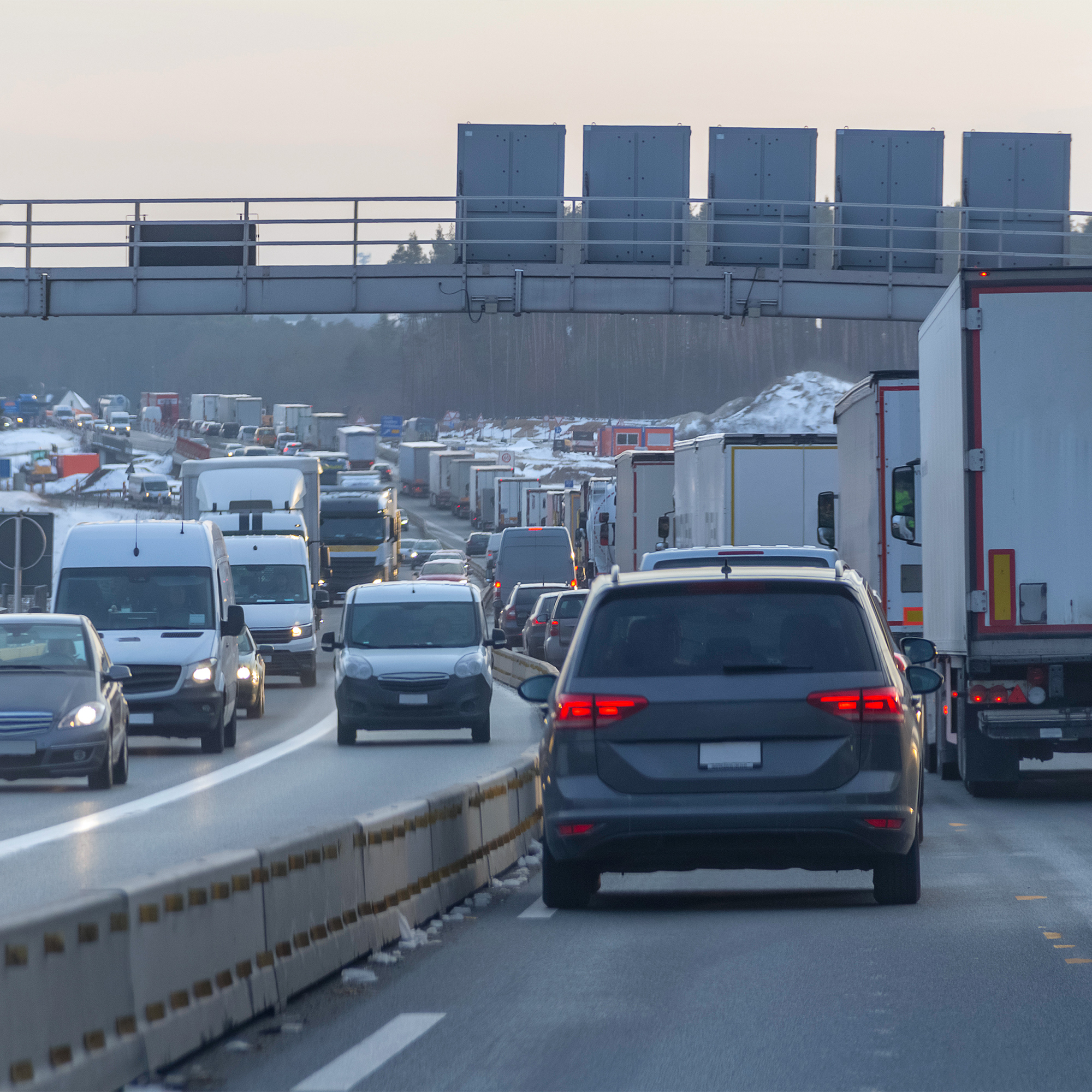
Discover how data insights from freight and commercial vehicles can be used to improve infrastructure efficiency, sustainability, profitability and safety.
Discover how data insights from freight and commercial vehicles can be used to improve infrastructure efficiency, sustainability, profitability and safety.

Geotab ITS customers and partners are invited to participate in this years Geotab Connect 2024 with a specialized ITS agenda.

At Geotab ITS, we saw firsthand the impact that deeper contextual transportation analytics can have for future modeling and infrastructure planning. Geotab…
The transportation sector is the largest contributor of greenhouse gas emissions in the U.S., contributing 27% of the nation’s total GHG every year. By…

Learn more about the trips algorithm that constructs flexible and meaningful trips, allowing customers to analyze their vehicle behavior.

Connected vehicle data can help planners implement road safety initiatives that work within a Vision Zero strategy.

Read up on how high-quality freight transportation data can help DOTs unlock new insights to make the best possible use of their budgets.

Learn how the New York City DOT used Geotab ITS’ Altitude platform to help validate speeding complaints and implement traffic calming measures to help…

Uncover what sets quality transportation data apart – and how it helps Departments of Transportation understand their ever-evolving cities.