
Our Solutions
Sustainability
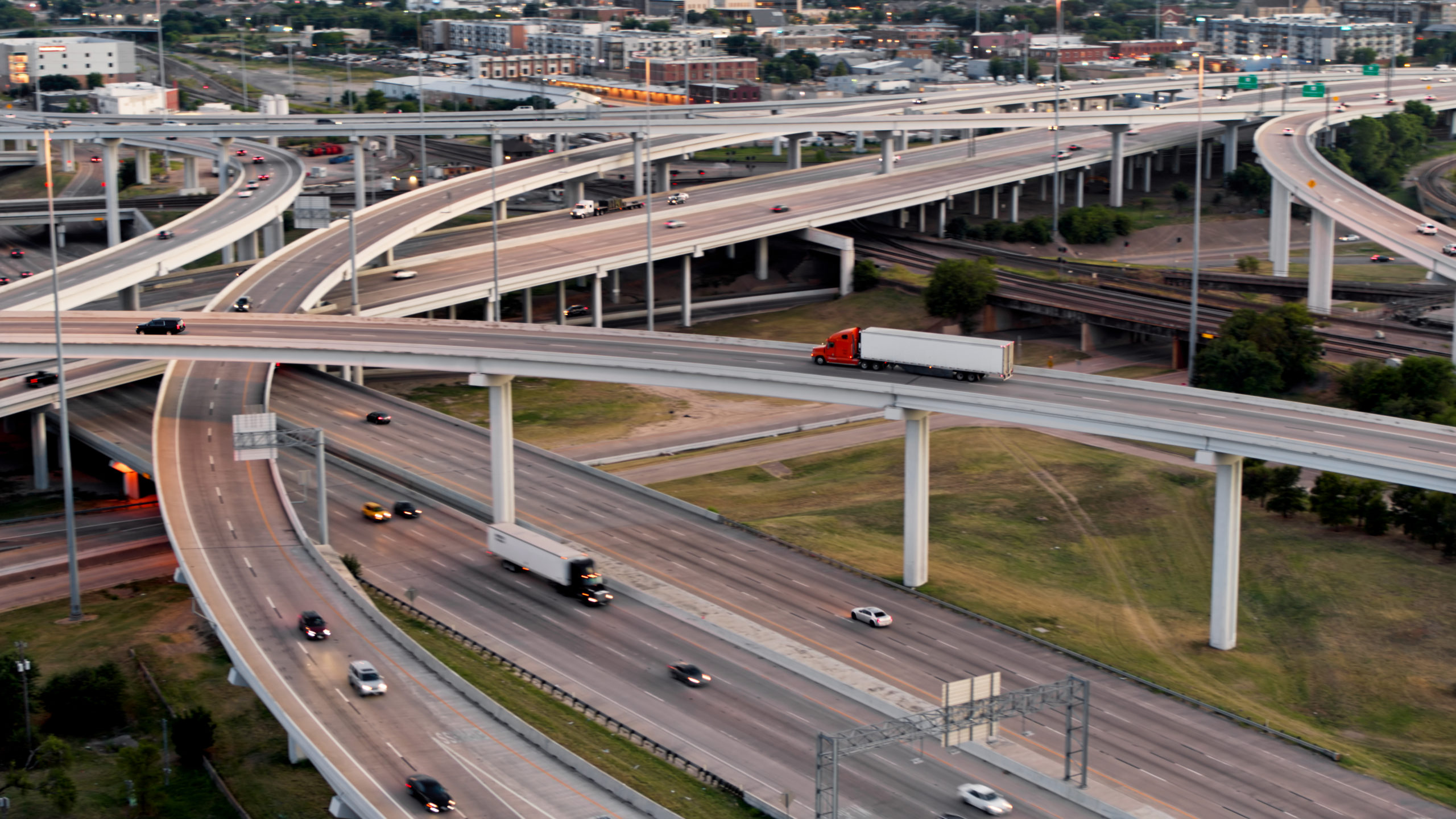
Make data-driven decisions and recommendations for transportation growth


Why it matters
As traffic volumes increase, it’s never been more crucial to continuously manage the flow of vehicles.
You need an approach that takes you to the root causes of these issues and quickly arms you with the information you need to resolve them.

How Altitude helps
Altitude lets you gain insight on consumer and vehicle traffic, where they’re coming from and going, the purpose of their trips, and their stops along the way.
Visualize how and where traffic behavior impacts specific transportation zones, and capture the infrastructure and vehicle-based causes of sub-optimal traffic flow at urban and regional levels.


Discover our sustainability solutions
1. EV charging infrastructure
Break down commercial vehicle data by vehicle class and combine it with stop durations to understand the types of charging infrastructure that are appropriate for each location.

2. Route analytics
Combine vehicle vocation data and origin and destination data to accurately map vehicle behavior and the routes vehicles use to get to and from their destinations. Use these insights to find the most appropriate spots for charging ports.
Go deeper

PRESS RELEASE
Geotab ITS Inks Contract with the Eastern Transportation Coalition
ETC members can now leverage Geotab ITS Altitude Platform for origin-destination and freight data analysis; streamlining the discovery of vital…
BLOG
The path to safer streets is paved with data
How to use intelligent transportation analytics to bolster planning for new Safe Streets and Roads for All grant program.

EBOOK
Contextualized transportation insights for smarter streets
In our latest eBook, understand commercial and last-mile delivery traffic in the new normal.

BLOG
Building the roads of tomorrow, today: UTCs lead the way in mobility innovation
New funding opportunities for UTCs highlight the need for insightful data analytics to move research forward and find innovative solutions to commercial…