
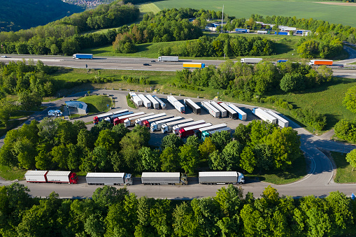
Planning of truck electrification infrastructure using emerging telematics data
Register for our upcoming webinar on how to use new telematics data to devise smarter truck electrification infrastructure plans.
Register for our upcoming webinar on how to use new telematics data to devise smarter truck electrification infrastructure plans.

Discover how data insights from freight and commercial vehicles can be used to improve infrastructure efficiency, sustainability, profitability and safety.

The EPA commissions two competitive environmental grant programs. The respective application deadlines are April 1, 2024 and May 1, 2024

Eligible organizations looking to secure DOT Federal Highway Administration grant funding are required to apply for ATTAIN by February 2, 2024.

New contract utilizes Geotab ITS’ commercial fleet and freight data to optimize state and local infrastructure planning for safer and more efficient road…

Find out how Geotab ITS can address many of the probe data limitations, breaking through the constraints to revolutionize freight analysis.

Understanding how transportation planners can use vehicle vocation information for meaningful analysis.

The Ray and Geotab ITS have partnered to showcase the capability of data analysis to guide the build out of zero-carbon fueling stations for medium and…

Cambridge Systematics (CS) announced its partnership with Geotab ITS, a Geotab business unit providing actionable, real-world aggregate insights to improve…
Geotab ITS today announced the launch of Stop Analytics, a powerful data analytics module that offers aggregate commercial vehicle parking insights.