Curbing inefficient parking with Stop Analytics
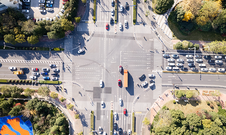
Using Stop Analytics from Geotab ITS, planners can expedite priority parking infrastructure to keep pace with commercial vehicle needs and improve traffic…
Using Stop Analytics from Geotab ITS, planners can expedite priority parking infrastructure to keep pace with commercial vehicle needs and improve traffic…

At Geotab ITS, we saw firsthand the impact that deeper contextual transportation analytics can have for future modeling and infrastructure planning. Geotab…

Discover how transportation data insights have evolved, and why they’ve never been more essential for DOTs, in our latest eBook.

Learn more about our expanded trip chaining options within the Geotab ITS Altitude platform which allows more custom analysis for users.

Geotab ITS’ Altitude platform unveils new vocation classifications to gain understanding of vehicles’ purpose on the road.

New funding opportunities for UTCs highlight the need for insightful data analytics to move research forward and find innovative solutions to commercial…

How to use intelligent transportation analytics to bolster planning for new Safe Streets and Roads for All grant program.

Advancing freight planning with contextualized transportation data and an understanding of commercial vehicle journeys.