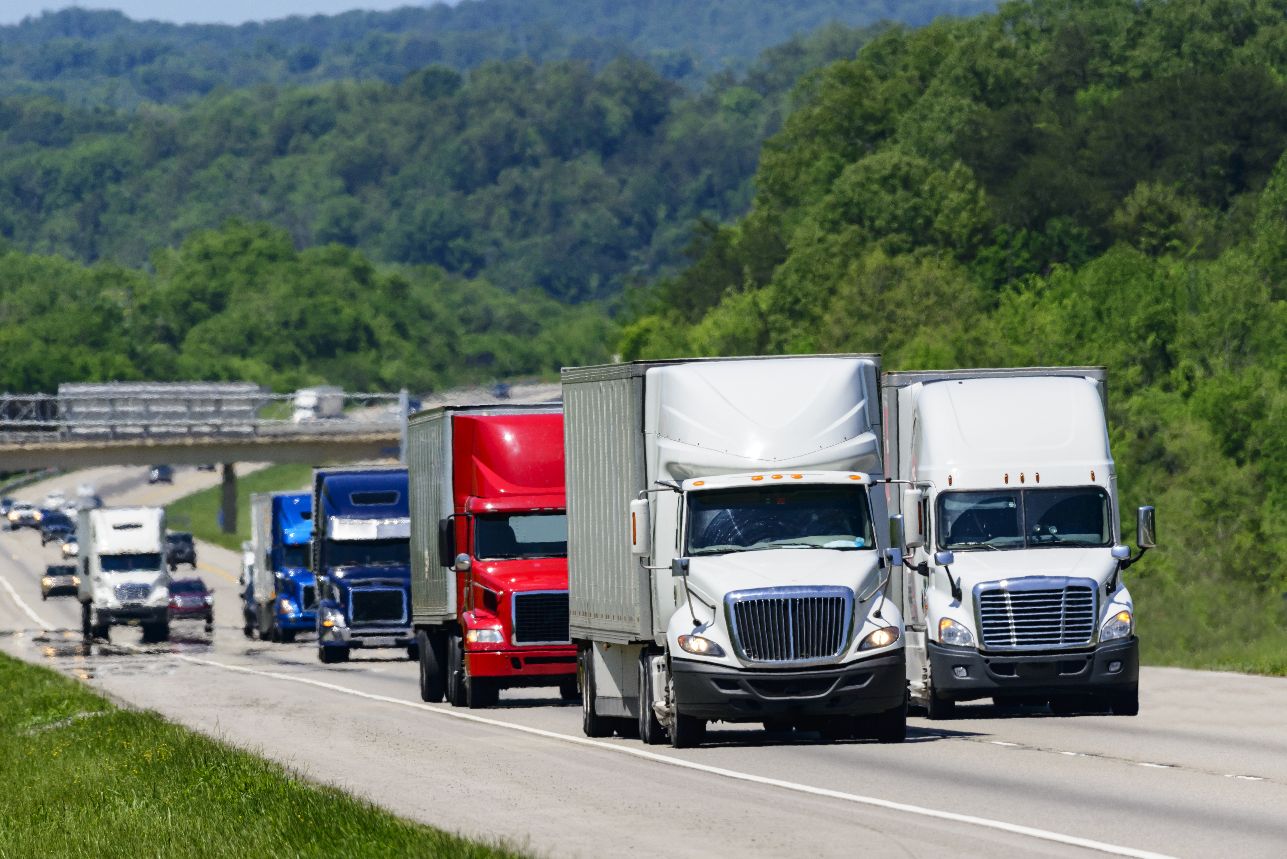
What is vehicle miles traveled data and why is it crucial for strong transportation planning efforts?
Vehicle miles traveled (VMT) data explains the entirety of vehicle movement within a given region. Read to learn more about its various uses.

Vehicle miles traveled (VMT) data explains the entirety of vehicle movement within a given region. Read to learn more about its various uses.

The Geotab ITS team offered valuable hands-on training at our Contextualized Freight and Mobility Data event.

Learn more about expansion factors with Geotab ITS and how they enable organizations to enhance their transportation networks.

A traffic data analysis is a detailed study of connected vehicle data or other sources of information like station counts or pneumatic tube data.

Our Connect session on commercial fleet electrification demonstrated how insights are helping states add more sustainable infrastructure.

Connected vehicle data is information reported from a car’s built-in technologies or a plugged-in vehicle hardware device.

Viewpoints on how transportation analytics can help proliferate highly sustainable cities, regions, and states across North America.

Learn about how traffic and connected vehicle data can help organizations formulate more effective incident management plans.

Read this blog post to learn about how contextual transportation insights are critical when improving state freight planning processes.

Learn how recent financial grants and advanced traffic insights are helping states relieve high traffic congestion in metropolitan areas.