
Measuring the effects of a union strike on three critical U.S. ports using route analytics
Read to learn how route analytics from Altitude allowed us to study a union strike’s effects on critical ports in Savannah, New York, New Jersey and…
Read to learn how route analytics from Altitude allowed us to study a union strike’s effects on critical ports in Savannah, New York, New Jersey and…

In Expansion Factors 3.0, we are introducing modeled Annual Average Daily Traffic…

Discover the instrumental role of freight data when developing key policy and transportation infrastructure decisions for five of America’s most critical…

Commercial site selection is the process of using data to identify high-potential business locations. Learn how transportation analytics play a vital role.

Traffic data collection is the process of gathering and presenting vehicle movement insights within a defined area. Read to learn how Geotab ITS does it.
Learn more about expansion factors with Geotab ITS and how they enable organizations to enhance their transportation networks.

AADT is a measurement calculated by dividing a road’s yearly vehicle traffic total by 365. This quotient represents the road’s daily vehicle travel mean.

Learn how federal and state agencies are using transportation data and analytics to rectify truck parking problems in North America.

Vehicle miles traveled (VMT) data explains the entirety of vehicle movement within a given region. Read to learn more about its various uses.
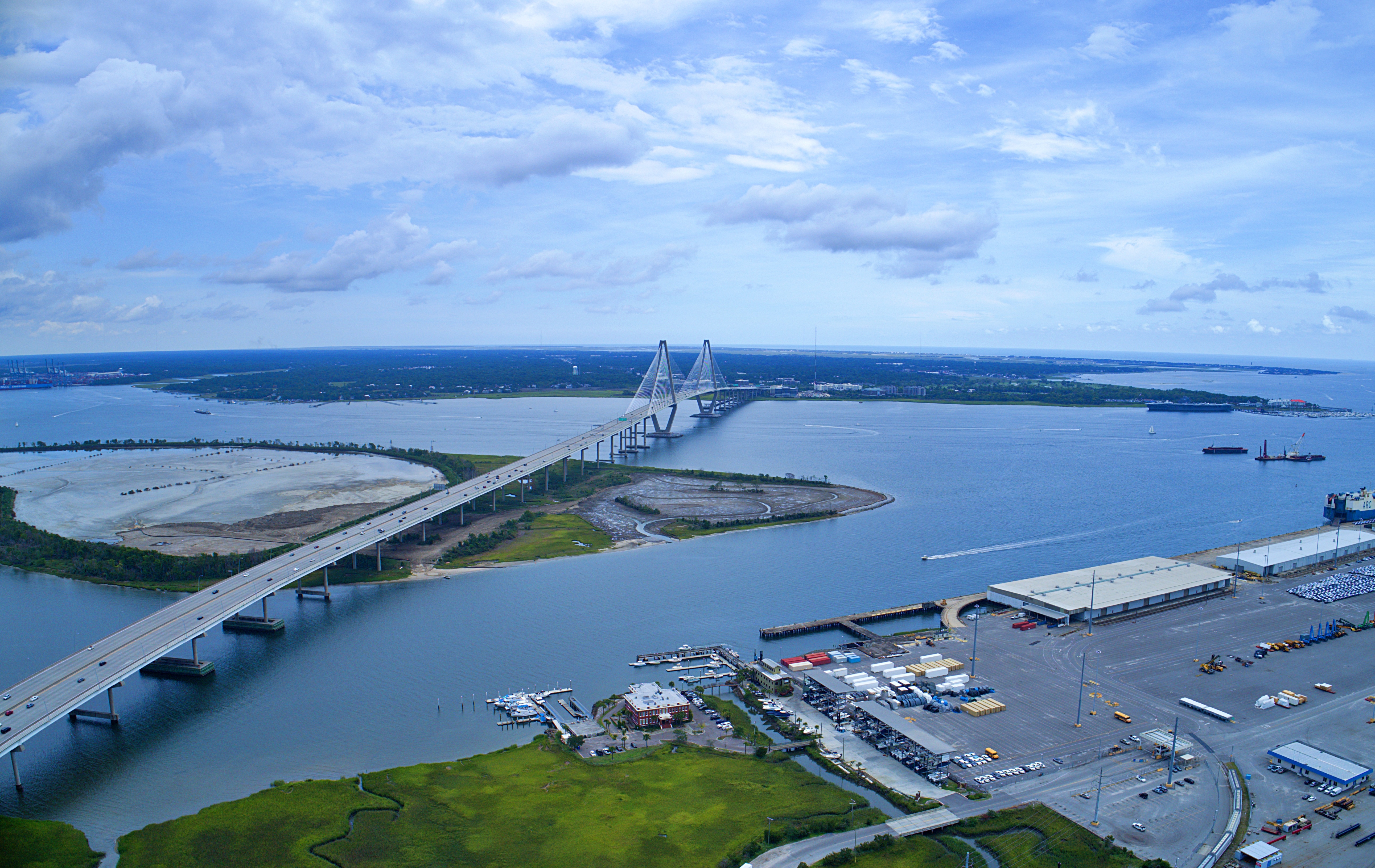
Learn how we used commercial vehicle data to analyze commercial movement’s overall effect on regional traffic in Charleston, SC.