
Expansion Factors 3.0: Accurately Extrapolating Commercial Vehicle Insights Across Entire Regions
In Expansion Factors 3.0, we are introducing modeled Annual Average Daily Traffic…
In Expansion Factors 3.0, we are introducing modeled Annual Average Daily Traffic…

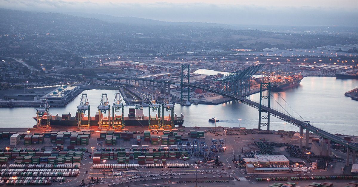
Understand the impacts bridge closures can have on traffic congestion, harsh events, and disruptions to goods movements.

Discover the instrumental role of freight data when developing key policy and transportation infrastructure decisions for five of America’s most critical…
Caltrans spearheads statewide utilization of Geotab ITS freight data for enhanced transportation planning, economic development and future funding…

Construction on the Gardiner in Toronto is impacting driving time emissions. See the results of our study on commercial vehicles.

Our goal is simple: to provide you with the tools and insights you need to drive positive change in your organizations and communities.

Our Connect session on commercial fleet electrification demonstrated how insights are helping states add more sustainable infrastructure.

Learn how recent financial grants and advanced traffic insights are helping states relieve high traffic congestion in metropolitan areas.

Read about the latest round of SS4A funding and how Altitude’s transportation insights can help you develop a fact-based transportation safety strategy.
A notice of funding opportunity (NOFO) to help qualifying organizations pursue innovative transportation technologies is available in the US.