Aerial view of Lower Manhattan

Our Solutions

Street safety and efficiency

Minimize the impact of traffic incidents with analytics and proactive planning

Image showing movement trails of vehicles on a highway, in blue and red colors

Challenge

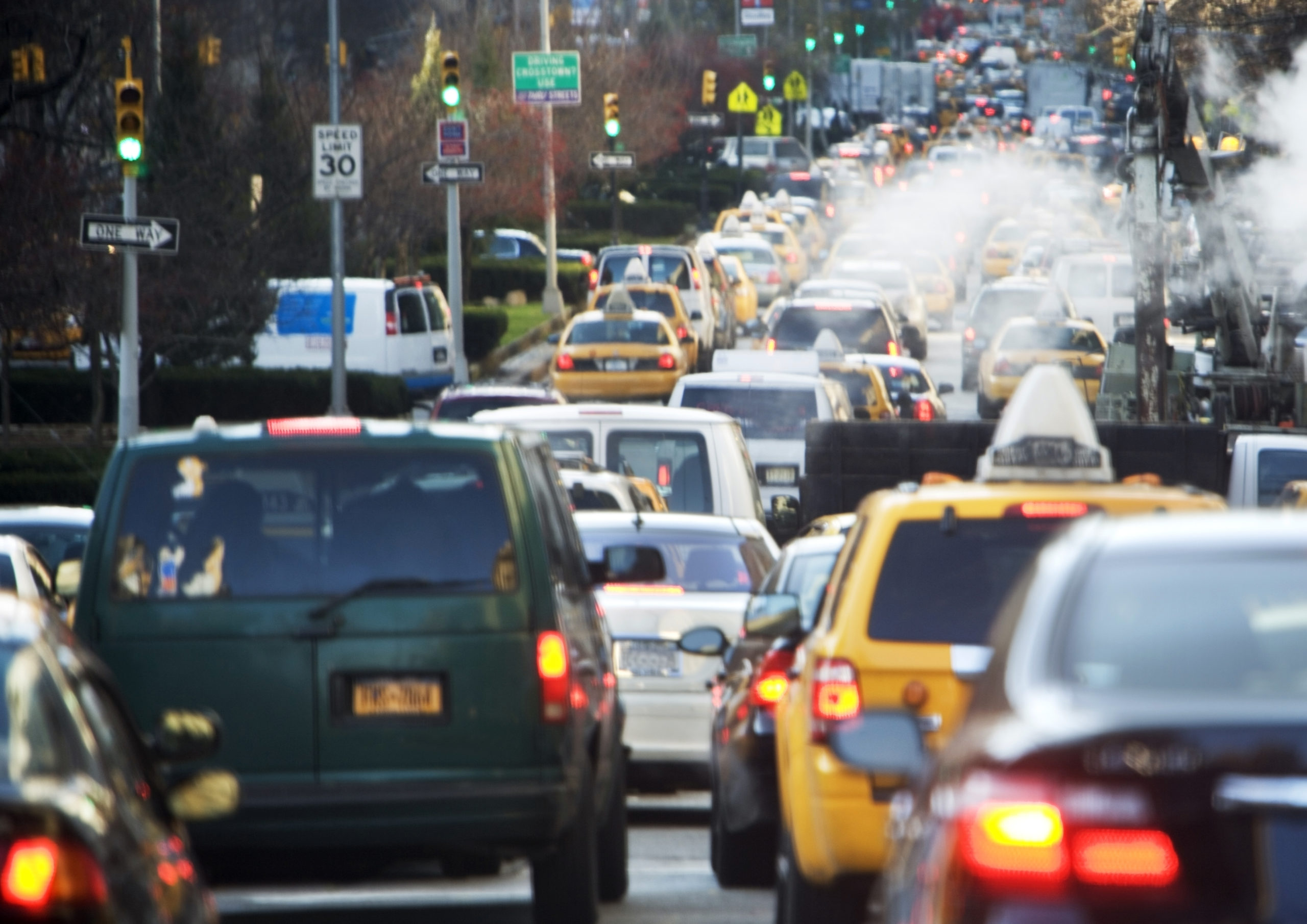
Easing congestion and ensuring safe travel on roads is a delicate balancing act. Open roads mean people are more likely to speed, while heavy congestion can lead to more risky driver behavior, such as driving on the shoulder.

The real challenge is understanding what exactly is causing traffic congestion, and the knock on effects on driver behavior. You need to quickly and reliably identify these problems—then implement solutions that effectively move people and goods more efficiently, sustainably and safely.

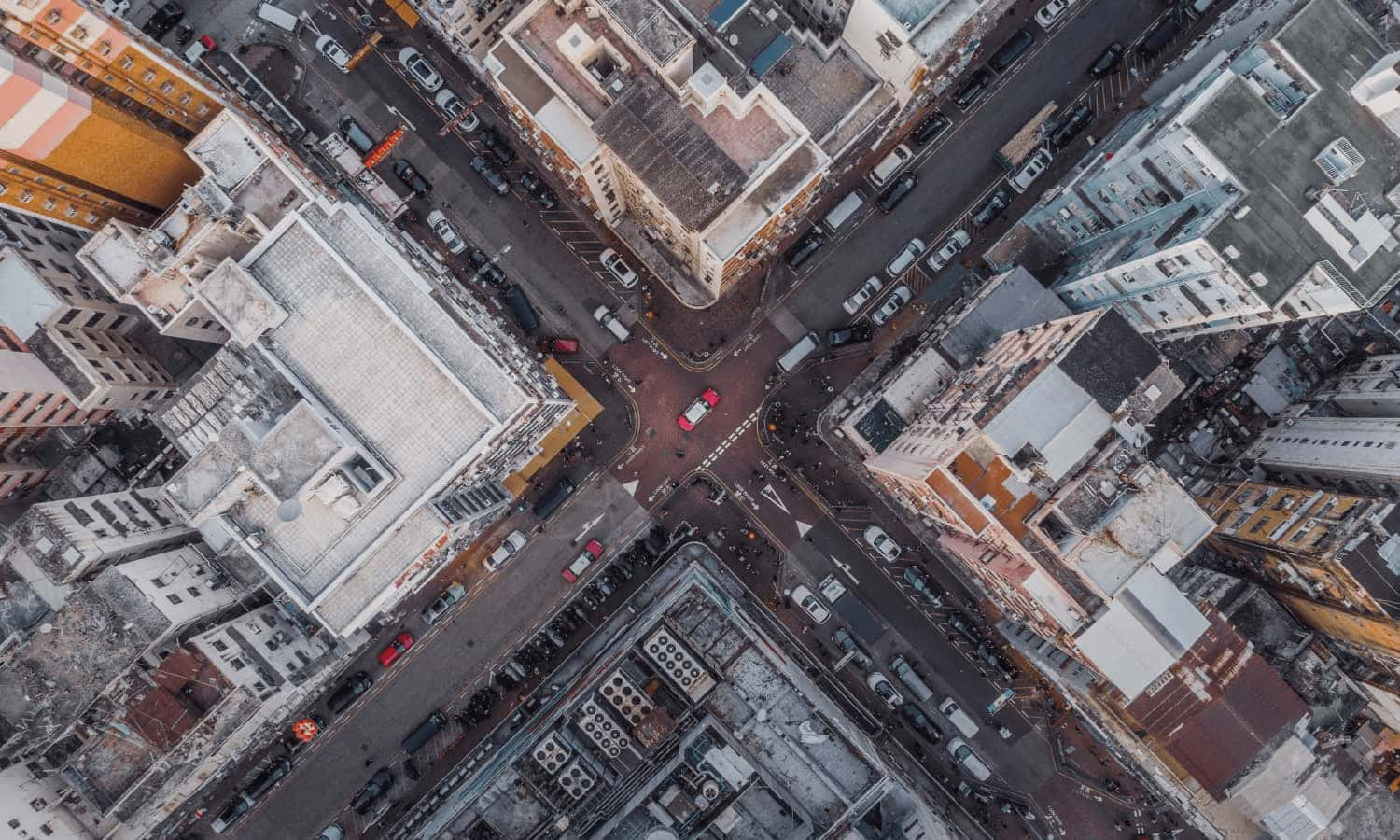
Aerial view looking straight down on to Los Angeles' city streets.

Why it matters

As traffic volumes increase, it’s crucial to continuously manage the flow of vehicles. Safety, congestion and pollution all risk escalating, affecting residents and drivers. You need a proactive approach that uncovers and lets you tackle potential issues before they arise.

How Altitude helps

Altitude lets you dive into how different commercial and consumer vehicles move along your road network, and how their behaviors affect signals and corridors in near-real time.

Use these insights to evaluate bottlenecks and improve traffic signal timings, identify opportunities for traffic calming measures, analyze corridor congestion and turning movement patterns.

Aerial photograph of a large number of cars in a parking lot

Discover our street safety & efficiency solutions

1. Traffic engineering

Zoom into problem areas by visualizing traffic behavior and establish how traffic density, vehicle types, peak times and vehicle behavior are affecting specific corridors and roadways.

Analyze patterns and recurring issues across your jurisdiction to root out common causes. Visualize how specific commercial vehicles – whether large freight or smaller delivery vehicles – interact with your roadways at times of high congestion. Understand why vehicles serving different industries are using your roadways at specific times.

Check out our Roads Product


image of cars at a busy intersection

2. Vision Zero

See at a glance the intersections and roadways that are the highest priority for new safety measures. 

Characterize the effectiveness of safety measures put in place and ensure there are no new safety concerns introduced elsewhere in the network.

Check out our Roads Product

High angle view of pedestrians crossing street

3. Curbside management

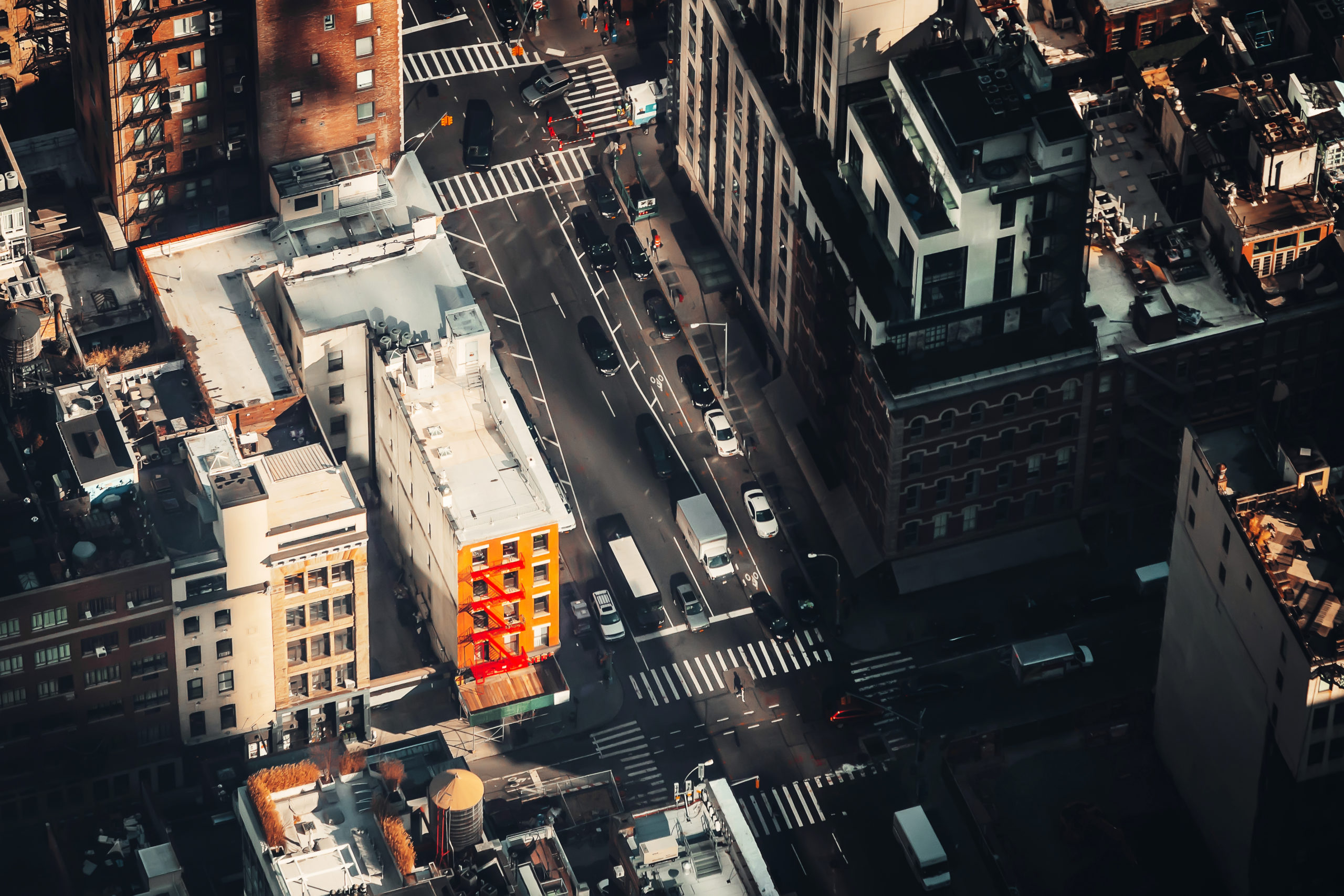
Analyze growing last-mile and curbside delivery activity in your city and find where commercial vehicles are causing high traffic density.

Drill into specific areas of concern and examine commercial vehicle movement patterns over time to see number of trips, average speed and parking events.

Use our vocation models and analytics to better understand curbside usage in city core areas. Use these insights to more effectively use curb space through informed curbside management programs and initiatives.

Check out our Stop Analytics Product

Go deeper