Aerial photograph of trucks and cars on a highway

Turn transportation insights into city and statewide action

Rich commercial and consumer vehicle insights for smarter policy and infrastructure decisions.

Unlock Return on Traffic Data

Photograph showing movement trails on a road in blue and red colors


Unlock better transportations flow

Connect your region with smarter insights

Manage and act on your region’s transportation insights through one platform. Make smarter changes everywhere.

Find out how the Altitude Platform can help you unlock better outcomes across your city and state.

Meet Altitude

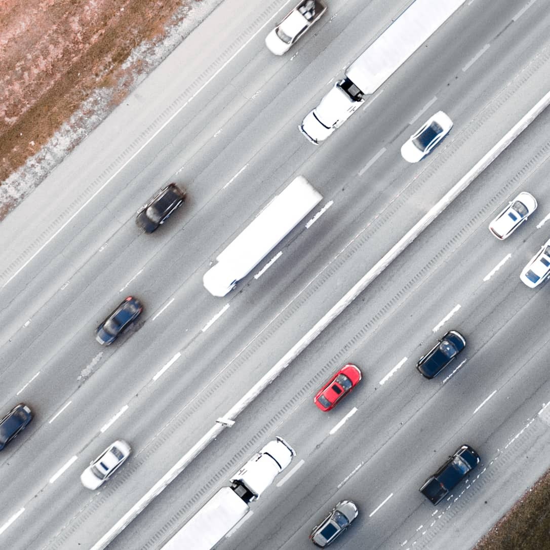
Get to the root of transportation behaviors

Macro and micro oversight

Understand your big picture transportation challenges by unearthing the micro patterns and anomalies beneath them.

Take action based on millions of aggregated commercial and consumer vehicle movements.

Then use your deeper understanding to expose and resolve obstructions to transportation flow and parking across your jurisdiction.

Photograph showing a closeup of a truck being pressure washed

Turn real-world context into incisive action

Discover the new potential for smart transportation data that creates safe, efficient and sustainable city living.

Show me

Put your insights to work

See what Altitude can do for your region

Your region interacts with and is shaped by thousands of vehicle interactions every single day. Find out how Altitude can help you address transportation-based challenges in the parts of your jurisdiction that have the biggest impact—for drivers and residents.

View solutions

Aerial photograph of traffic at a highway crossing over a river in Amsterdam, Netherlands

Let’s talk

See Altitude in action or talk to one of our account managers about getting started.

Book a demo Let’s talk