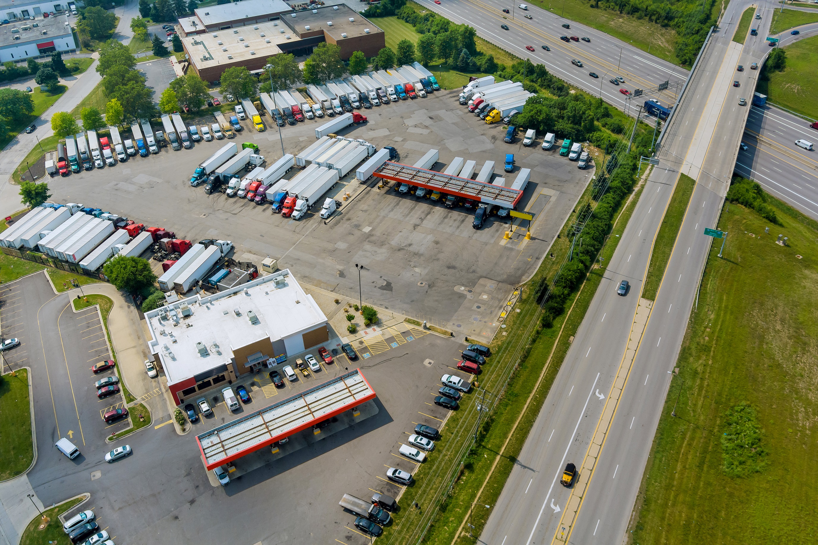
During this session, our speakers offered unique perspectives on the issues truck drivers face and how detailed insights can aid in solving these complex truck parking infrastructure activities.
In The Impact of Accuracy and Granularity in Commercial Truck Parking Activity, Matthew Konski, a senior data solutions engineer at Geotab ITS guided attendees through the vast world of truck parking data. He delved into how using stop analytics can offer officials a better understanding of how to alleviate common challenges, enabling them to build more accessible parking options. They can use the data to increase the number of electric vehicle charging stations and find new ways to enhance safety.
Truck parking problems and the importance of addressing them
There are many common challenges that truck drivers face today in North America. Some of the difficulties commercial drivers face while transporting goods ultimately stem from a lack of parking spaces for large trucks. These challenges can lead to negative consequences like possible noncompliance, productivity lapses, barriers to fleet electrification and safety risks. By installing more efficient and accessible truck parking options, the potential of detrimental effects can be reduced.
However, it’s not simply more truck parking that’s needed – where it’s installed and what type of parking matters as well. Truck parking infrastructure projects must account for factors like regulatory compliance, existing traffic patterns and flow, current parking options and vehicle purposes. Strategies around whether the parking will be used for heavy-duty trucks, electric vehicles, overnight stops or quick breaks also need to be considered. Using holistic aggregate transportation data, each of these key concepts can be kept in mind as new infrastructure plans are developed.
Using intelligent data to create new truck parking solutions
Matthew introduced multiple ways that ITS data can be used to help support the mounting interest around better commercial vehicle parking. Our Altitude platform aggregates connected ITS data about vehicle stoppages, origins and destinations, and roadways to give users a comprehensive view of national freight travel trends. With these insights, safety, sustainability and efficiency concerns can be reduced as planners and modelers use them to ideate smarter truck parking initiatives. Increasing parking availability and ease of access for large freight vehicles helps commercial drivers be more productive and compliant with regulations. Data-driven infrastructure simplifies truck driver parking, helping to reduce wasted productivity and excessive emissions by limiting the time truckers spend looking for quality places to stop.
For departments of transportation and other infrastructure planning organizations, the contextual insights provided by Altitude also provide valuable perspectives on the reasons for vehicles’ travel. Industry categories, vocations, vehicle classes and fuel types used are several kinds of these insights that can help planners understand a truck’s true purpose for being driven. In addition to providing helpful context, our data also remains granular and ultra precise due to Geotab’s curve logic capability. This proprietary algorithm was designed so our solutions only save vehicles’ most relevant GPS data points while discarding the unnecessary ones to improve clarity. Organizations can be assured that all the information they’re being provided is the best available with the power of this capability and contextualized insights.
Truck parking data use cases
Matthew also demonstrated how Geotab and WSP teamed up to provide ITS data to Rhode Island’s Department of Administration, helping them closely examine their state’s truck parking activity. During this study, our solution enabled them to take stock of current commercial vehicle parking location options and gave them the capability to set custom parameters so they could refine their analyses even further.
The findings showed that their current parking infrastructure was at or nearing capacity given the current demand. Detailed breakdowns of vehicle vocation associations and the types of vehicles being commonly driven helped them gain a clearer picture of what kinds of stops were happening and for how long. The state was able to deduce that the available facilities for truck parking were largely maxed out, particularly for overnight traveling trucks embarking on longer-haul routes. Using these findings, they were able to formulate smarter plans to improve parking availability and extend lot capacity.
In another use case involving the Jacob Dekema Freeway near San Diego, we demonstrated how ITS stop analytics could be used to assess the state of truck parking in this region. This freeway, also known as Interstate 805, runs southbound to the Mexico border and is known to lack effective truck parking because of limiting factors like San Diego’s constraining urban layout. ITS insights can be used to understand vehicles’ directional travel habits and the times that certain trucks would be most in need of parking accommodations. Officials can then create smarter parking solutions near this interstate that are compatible with the requirements of both commercial drivers and the city’s current grid.
See more: Discover our Interactive Map to see tangible snapshots of what Altitude is capable of.
Surveying the future of truck parking infrastructure
Our truck parking session at Connect displayed how precise insights can be used to invent safer, more efficient transportation infrastructure and policy decisions. Granular analytics help shape parking infrastructure strategy in a powerful way, but are only one component of the equation. By relying on context and research and then executing a data-based action plan, we can build smarter cities that prioritize rider security, sustainable methods and greater efficiency for commercial drivers.
Discover more about how Altitude’s insights can support better truck parking initiatives by scheduling a platform demo today.


